File:Land-access-levels-Region.png
Revision as of 08:38, 8 October 2009 by Torley Linden (talk | contribs)

No higher resolution available.
Land-access-levels-Region.png (534 × 566 pixels, file size: 42 KB, MIME type: image/png)
File history
Click on a date/time to view the file as it appeared at that time.
| Date/Time | Thumbnail | Dimensions | User | Comment | |
|---|---|---|---|---|---|
| current | 09:35, 4 November 2010 | | 534 × 566 (42 KB) | Jeremy Linden (talk | contribs) | |
| 08:38, 8 October 2009 | 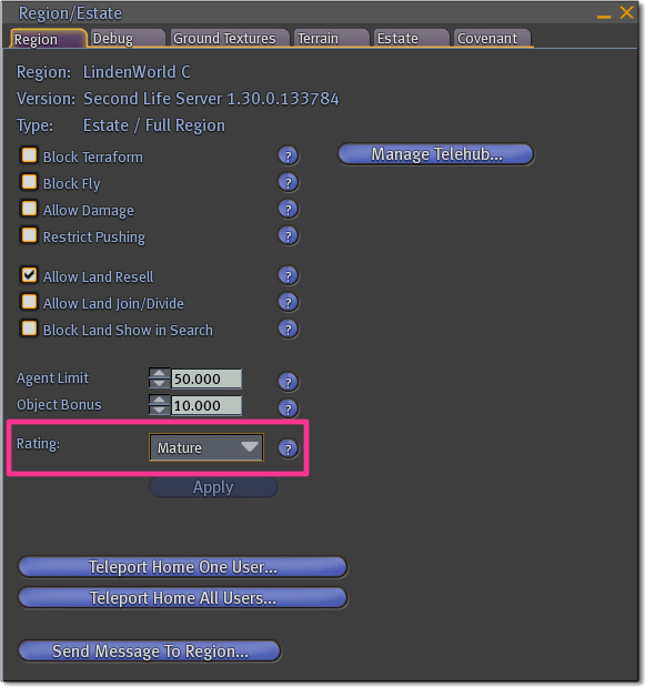 | 581 × 619 (95 KB) | Torley Linden (talk | contribs) |
You cannot overwrite this file.
File usage
There are no pages that use this file.