About Land
This page is part of the Second Life User's Manual, describing how the Viewer software works. Please see the main User's Manual page as a starting point.
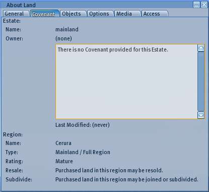
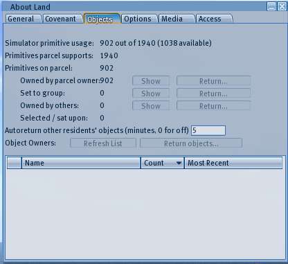
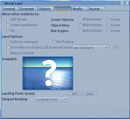
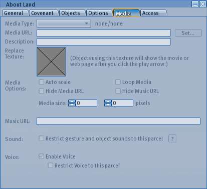
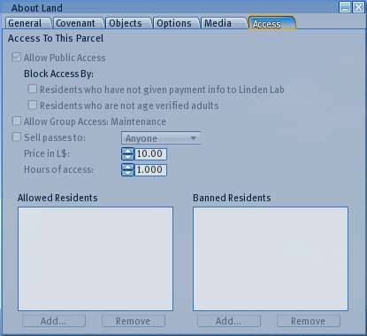
Land within map regions in Second Life is divided into one or more "Parcels". The "About Land" floating window displays detailed information about a land parcel, including covenants, objects and who owns them, access and use permissions, and media settings. The information is displayed in 6 tabs which can be selected by clicking the tab headings.
Many of the items may be set by the land "owner", others are determined by the location of the parcel or set automatically. Items which cannot be changed are generally greyed out.
General Tab
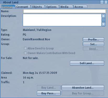
Name - The name of the parcel which will show at the top of the screen when you are on the parcel, and in search if the parcel is set to show in search.
Description - Additional description of the parcel which is visible in this window and in search results if the parcel is set to show in search.
Type - The type of map region the parcel is located on from among Mainland or Estate/Full Region, Homestead, or Openspace
Rating - The maturity rating of the map region from among PG, Mature, or Adult
Owner - The avatar name or "Group Owned" if such who "owns" the land parcel. Normal users do not actually have ownership rights in the virtual land in the common real life sense of owning something. They have control over the parcel as long as they pay maintenance fees directly or indirectly to Linden Lab, who actually own the servers the map region is hosted on. In this sense it is more like a lease in real life. Governor Linden is the Account set up by Linden Lab to hold parcels assigned to them, as opposed to their customers (users). In this case, the listed owner and the actual real life owner is the same.
The info button will open the 'Profile' floating window for the listed owner.
Group - The group assigned to this parcel for the purpose of access or controlling settings. This is distinct from group ownership. The Set button will open the Groups tab of the Communicate or Contacts window in order to set or change the group assignment.
- Allow Deed to Group - Permits a landowner to sell the parcel to the assigned group. The owners of the group effectively become the new owners of the land. The Deed button opens the 'Deed to Group' floating window in order to transfer ownership.
- Owner Makes Contribution With Deed - When transferring ownership to a group, this check box also assigns land area from the owner's land allowance to the group at the same time.
For Sale - Shows for sale or not for sale status. If for sale, shows price and whether for sale to anyone, or a specific person. If you own the land, buttons to set for sale, not for sale, or abandon the land will appear.
Claimed - The date and time the current owner became the owner of the parcel.
Area - The horizontal area of the parcel. Sloped land is measured in the XY horizontal plane, not along the slope. Land is divisible into units 4x4 meters in size, so the minimum parcel area is 16 sq.m., and can be any multiple of 16 up to the full area of a map region (256x256m or 65,536 sq.m.). A single parcel must be entirely within the boundaries of one map region, but may consist of discontinuous pieces.
Traffic - The number of avatar-minutes present on the parcel over the last measurement interval. Thus one avatar present for one hour = 60 traffic. The normal measurement interval is over the previous 24 hours, and is updated 2 times a day.
