File:Zindra Map 04 Jul 2009.jpg
Jump to navigation
Jump to search

Size of this preview: 800 × 352 pixels. Other resolution: 2,915 × 1,284 pixels.
Original file (2,915 × 1,284 pixels, file size: 1.09 MB, MIME type: image/jpeg)
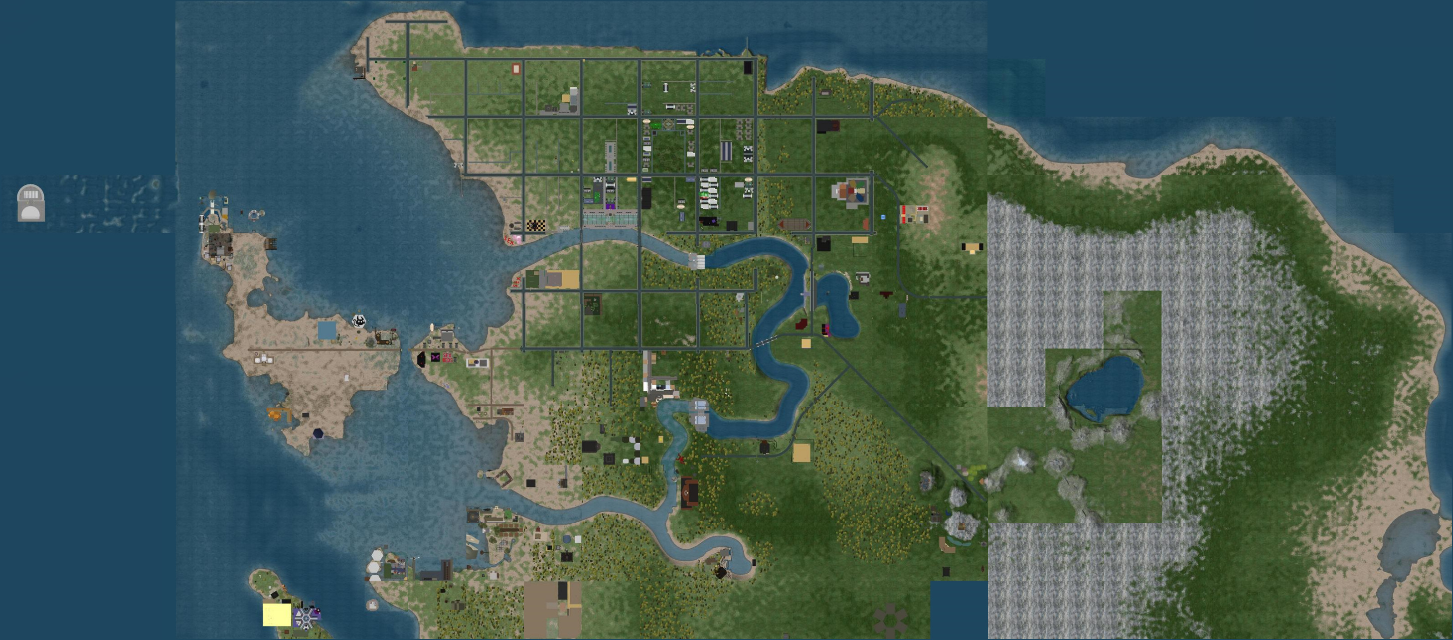
SLurl map of Zindra captured on 04 Jul 2009. The left (west) portion shows some development that has already happened. The right (east) portion is the extension being added due to high demand for land swaps. This map shows 211 regions.
File history
Click on a date/time to view the file as it appeared at that time.
| Date/Time | Thumbnail | Dimensions | User | Comment | |
|---|---|---|---|---|---|
| current | 07:22, 5 July 2009 | | 2,915 × 1,284 (1.09 MB) | Dil Spitz (talk | contribs) | |
| 19:07, 4 July 2009 | 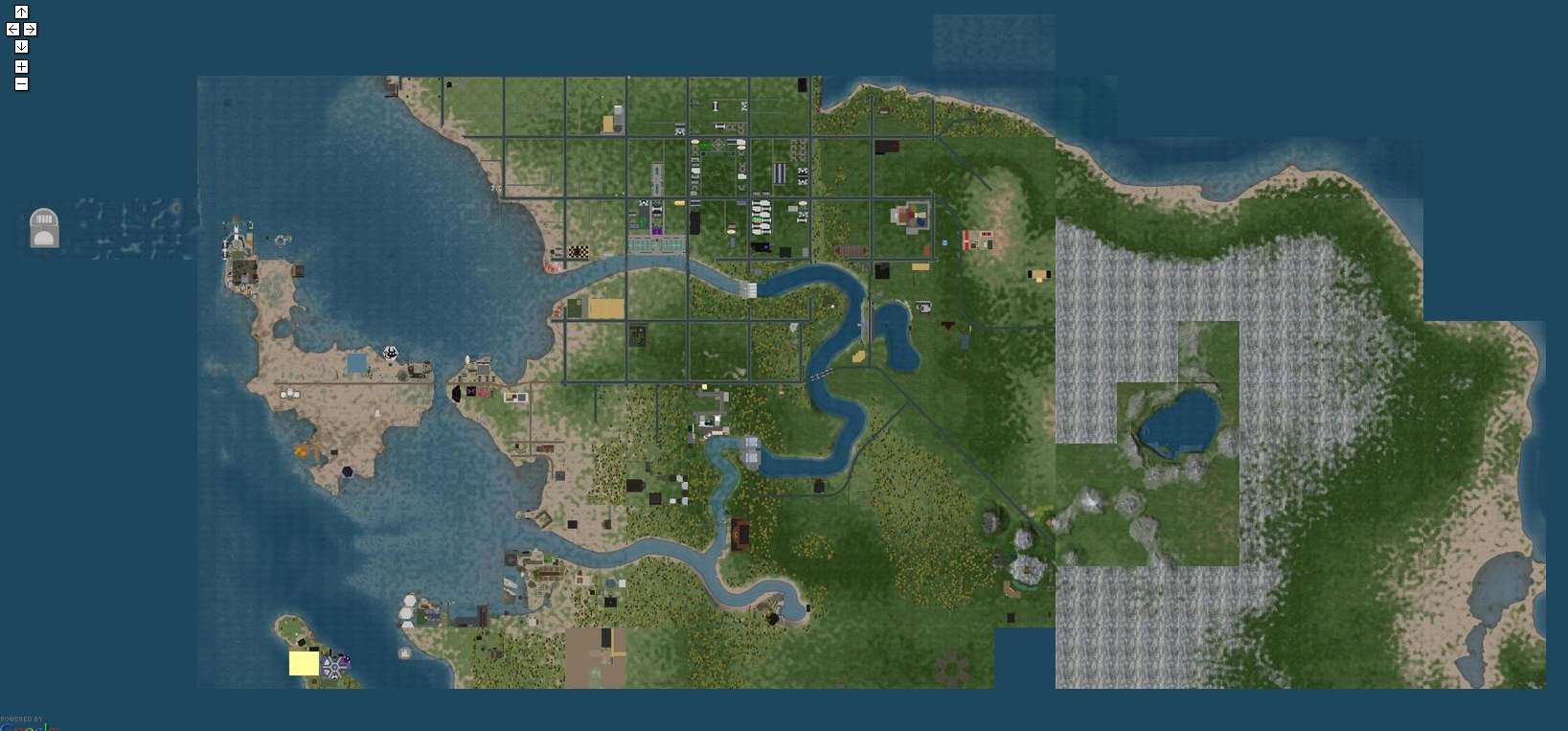 | 1,637 × 763 (114 KB) | DanielRavenNest Noe (talk | contribs) | SLurl map of Zindra captured on 04 Jul 2009. The left (west) portion shows some development that has already happened. The right (east) portion is the extension being added due to high demand for land swaps. This map shows 211 regions. |
You cannot overwrite this file.
File usage
The following page uses this file: