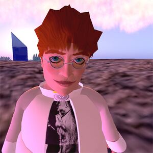
User:Darb Dabney
About Me
Darb works to apply Second Life Grid technology to support local government applications. This has required some adoption of Opensim to augment the cost-scalability of Second Life Grid for resource-limited agencies.
I'm a Geographic Information Systems (GIS) analyst at County of Marin by day. I seek to apply immersive 3D environments to the needs of planners and research operational benefits of immersive 3D to county and public business. This exploration is blogged. Several supporting video clips are also available.
Simulator GIS
Seeking a synergy between an OpenSim prototyping/development space and an SL production display space. Build skills have been honed since 2006 10 with a focus on ways to express the vector features of GIS systems in the constructive solid geometry and NURB sculpties of SL. Precise scaling methods have been developed using Leica ERDAS Imagine and ESRI ArcGIS to support mirror world construction at scales from 1:42 through to 1.024:1 depending on the build's purpose.
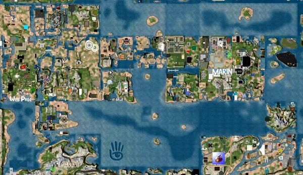
In early 2009, the project site had been labeled with sky writing "MARIN". Delays in parcel boundary adjustment negotiations motivated Darb to liquidate most of the site and use some of those funds to attend SLCC 2009 :


