File:Grid Sectors.png
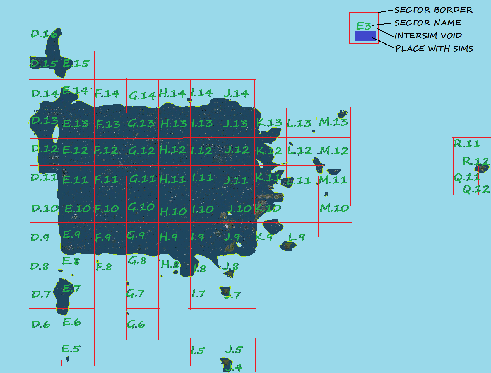
Revision as of 13:41, 11 October 2013 by Anaimfinity Resident (talk | contribs) (This map shows the sectors of the main grid. For technical reasons, the map had to be divided into sectors of 100/100 sims.)
Size of this preview: 790 × 600 pixels. Other resolution: 1,677 × 1,273 pixels.
Original file (1,677 × 1,273 pixels, file size: 705 KB, MIME type: image/png)
This map shows the sectors of the main grid. For technical reasons, the map had to be divided into sectors of 100/100 sims.
File history
Click on a date/time to view the file as it appeared at that time.
| Date/Time | Thumbnail | Dimensions | User | Comment | |
|---|---|---|---|---|---|
| current | 13:41, 11 October 2013 | | 1,677 × 1,273 (705 KB) | Anaimfinity Resident (talk | contribs) | This map shows the sectors of the main grid. For technical reasons, the map had to be divided into sectors of 100/100 sims. |
You cannot overwrite this file.
File usage
The following 5 pages use this file: